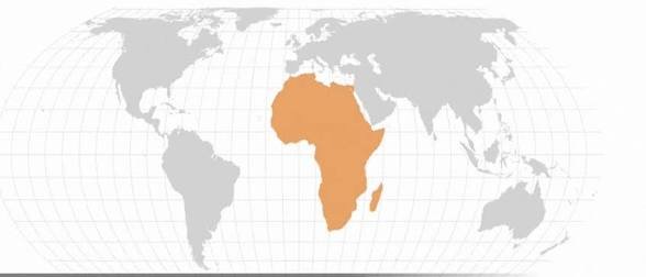
The United Nations General Assembly has overwhelmingly adopted an Africa-led resolution encouraging wider use of world maps that represent continents and countries in their correct relative sizes.
The resolution, titled “Correct the map: Rebalancing global cartographic representation and promoting equitable representation of the world’s regions, particularly Africa”, was adopted on 4 September 2026.
It received 164 votes in favour, with the United States voting against and six countries abstaining.
What the resolution says
The resolution encourages governments, schools, international organisations and technology companies to use equal-area map projections when comparing the sizes of countries and continents.
It specifically highlights the Equal Earth projection, which displays land areas in their correct proportions.
The decision is not legally binding. It does not compel countries or companies to replace their maps, and it does not adopt or authenticate a single official world map.
It also has no effect on national borders, disputed territories or place names.
Why the Mercator map is disputed
The Mercator projection was developed by Flemish cartographer Gerardus Mercator in 1569. It was designed primarily for maritime navigation because it allowed sailors to plot constant compass directions as straight lines.
However, the projection greatly enlarges land masses near the poles while making regions closer to the equator appear comparatively smaller.
One of the clearest examples is the visual comparison between Africa and Greenland. On many Mercator maps, the two appear to be similar in size. In reality, Africa is approximately 14 times larger than Greenland.
Africa covers about 30.4 million square kilometres, while Greenland covers about 2.2 million square kilometres.
Similar distortions affect South America, South Asia and other regions close to the equator.
Supporters of the resolution argue that repeated exposure to these distorted maps can influence how people understand the economic, geographical and political importance of different regions.
The Africa-led campaign
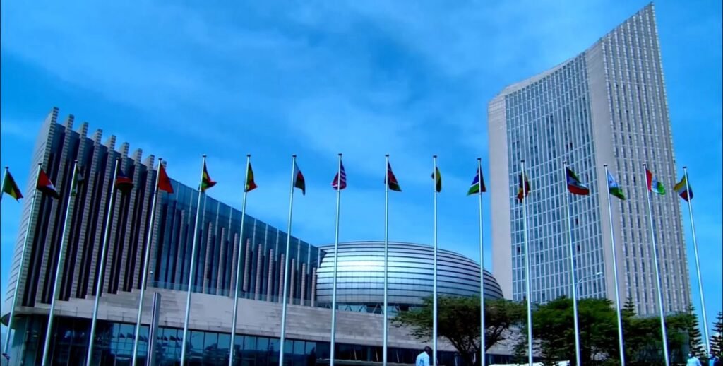
Togo led the proposal at the United Nations with the backing of the African Union.
The wider Correct The Map campaign has been promoted by Africa No Filter and Speak Up Africa. The campaign calls for schools, governments, media organisations and international institutions to move away from using Mercator maps where the purpose is to compare land areas.
The African Union previously endorsed the Equal Earth projection and encouraged its 55 member states to support more proportionate cartographic representation.
Equal Earth was introduced in 2018. Unlike Mercator, it preserves the relative area of countries and continents, although their shapes can still be distorted.
No flat map can perfectly preserve area, shape, distance and direction at the same time. Different projections remain useful for different purposes. Mercator, for example, continues to have practical applications in navigation and digital mapping.
What happens next
The UN resolution does not mean that every familiar world map will immediately be replaced.
Individual governments, educational authorities, publishers, technology companies and international organisations will decide whether and how to change the maps they use.
Its most immediate effect is likely to be in education, public communication and maps designed to compare the scale of countries and continents.
Trivane View
The resolution is best understood as a call for more appropriate map choices, not the declaration of one perfect world map.
Equal-area projections can give readers and students a more truthful understanding of Africa’s physical scale. At the same time, responsible education should explain that every attempt to place a spherical planet on a flat surface involves compromises.